Vanuatu Map
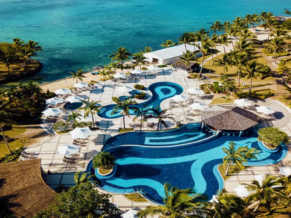
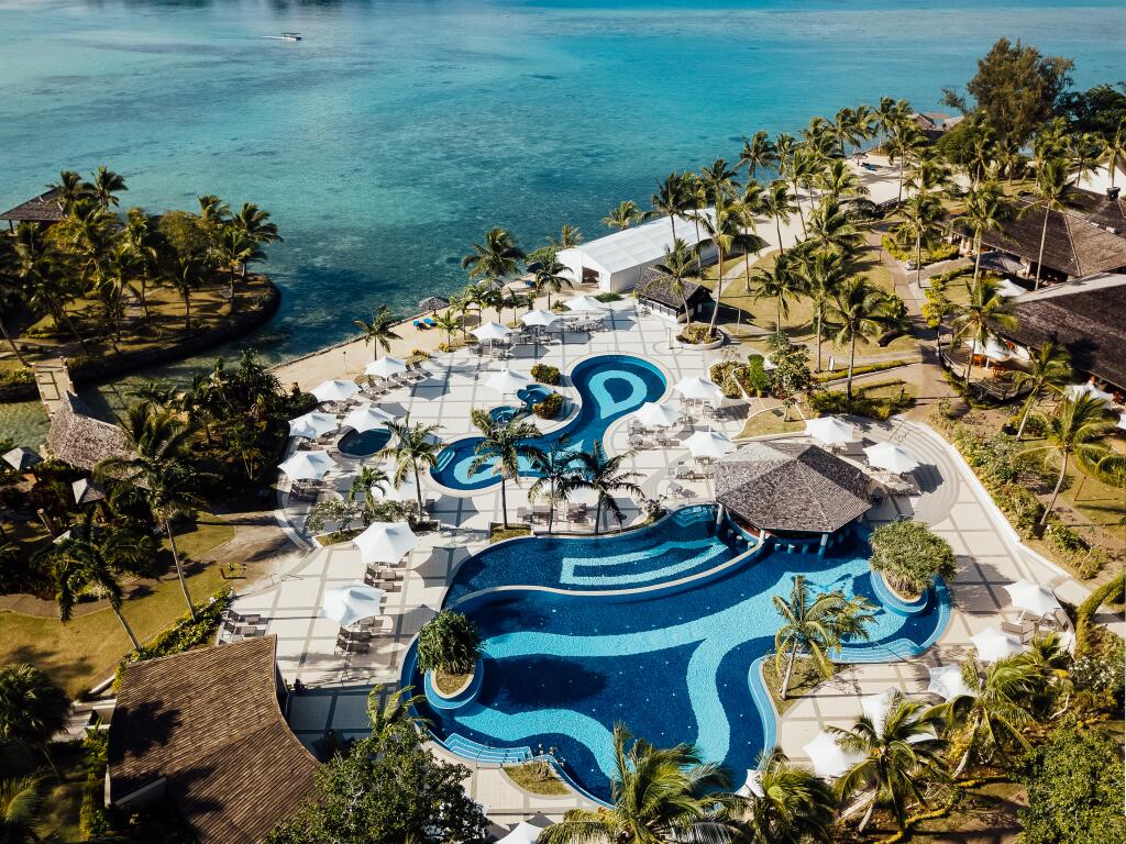
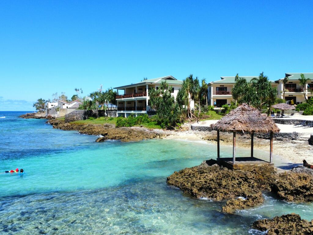
Vanuatu is an archipelago of 83 islands creating a 'Y' formation located 2,500 km northeast of Sydney in Australia. As the Vanuatu map below shows, accommodation is spread across the main island of Efate and the other two most popular destinations, Tanna Island and Espiritu Santo. Enticing visitors for their natural attractions, these islands are home to active volcanoes and world famous dive sites.
Port Vila, the capital of the island of Efate, is where most of Vanuatu's accommodation can be found however as the Vanuatu map below demonstrates, there are also an excellent range of options on Espiritu Santo and its main town of Luganville. For a more authentic island experience, the handful of accommodation options on Tanna Island can be found in Lenakel and on the East Coast and offer a relaxing and remote experience.
Top Vanuatu Packages

Renowned for its unique landscapes, Vanuatu features a number of active volcanoes located both above and below sea level. Although still active today, these volcanoes recorded the last major eruption in 1945. Due to the volcanic nature of the landscape, most islands in the region feature steep terrain. The highest point occurs on the island of Espiritu Santo, with Mount Tabwemasana reaching just under 1900m.
The Vanuatu map below illustrates the majority of the region's islands that stretch 1300km north to south and make up the archipelago. The accommodation names displayed on the map also offer a reference point for planning your holiday. To find out more about the properties shown, click on their names for full details.