Port Douglas Resort Location Map
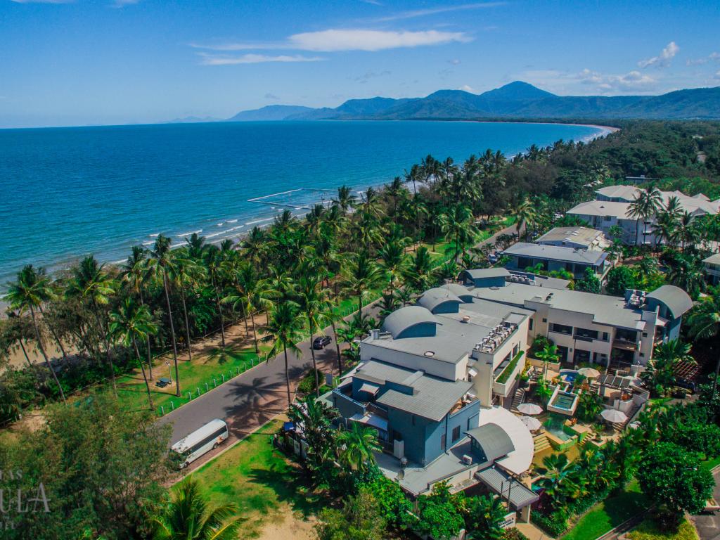
Located approximately 70km north of Cairns, Port Douglas is a popular holiday destination in tropical Far North Queensland. As the below Port Douglas map shows, the region is situated on a picturesque coastline overlooking the Coral Sea and is known for its ideal blend of reef and rainforest, with the Daintree just minutes away.
This Port Douglas map shows the direct route from Cairns to Port Douglas is along the Captain Cook Highway, the coast's major motorway. Zoom out on the Port Douglas map to see the region's proximity to the state capital, Brisbane. Situated 1700km from Queensland's capital, the region remains a popular holiday destination and is reached along a spectacularly scenic coastal drive.
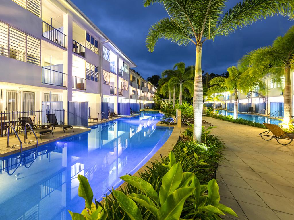
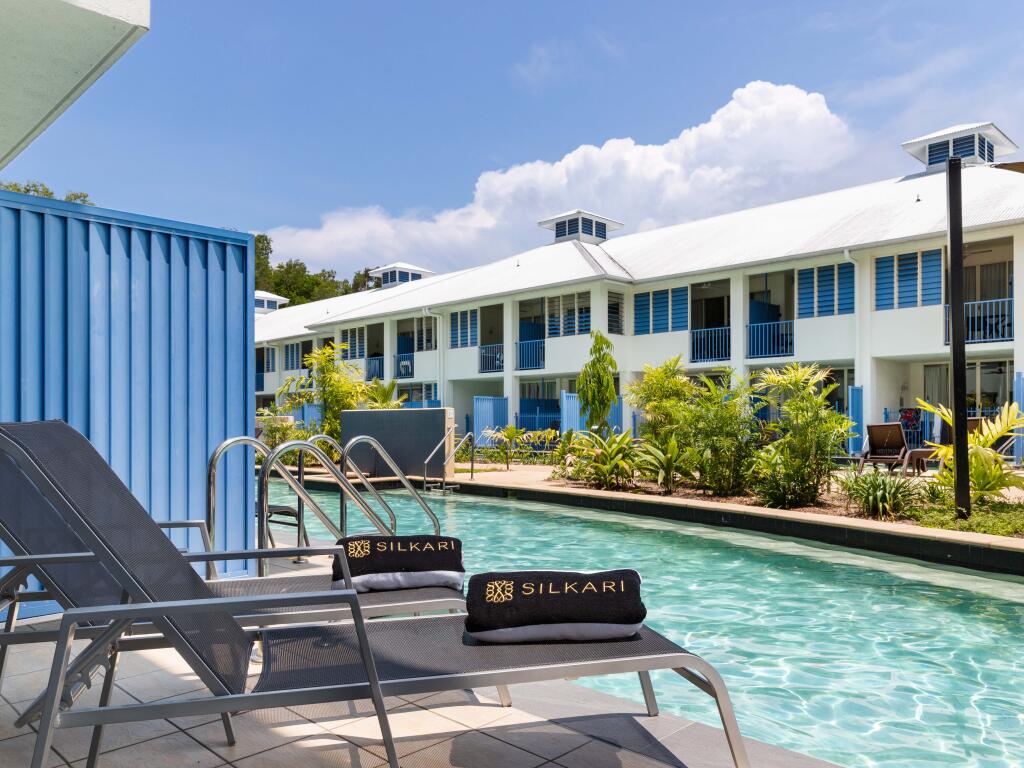
Known for sharing the same tropical latitude and therefore weather with Tahiti, Port Douglas enjoys fantastic weather year round, meaning any time is a great time to visit. To cater to all the tourists and visitors the region receives each year, there are a wide range of accommodation options which can be seen in the Port Douglas map below.
Use this Port Douglas map to plan your stay including deciding what you would like to be close to during your holiday. With most accommodation concentrated on Port Douglas Road, the Esplanade, Dickson Inlet and Anzac Park, you can choose right where you want to be. Use the markers to select a property and see its name, star rating and a brief overview of the property.