Cook Islands Map
Located in the South Pacific approximately 7 hours and 4,750 km from Australia's east coast, The Cook Islands are made up of 15 stunning islands. Lying in the centre of the Polynesian triangle of the South Pacific, the Cook Islands share the same time zone as Hawaii.
Formed long ago by volcanic activity, the islands sit amongst two reefs and six atolls which are responsible for their pristine waters and excellent underwater reefs that are one of their major drawcards for tourists. These reefs are distinguished on the map below by the light blue halo surrounding the islands.
Cook Islands Packages
Cook Islands Hotel Map
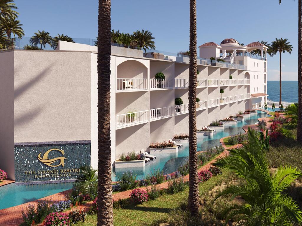
The two main islands featured in the Cook Islands map, are Rarotonga (or Raro to the locals) and Aitutaki. Rarotonga is the main island and has the largest population of all the islands with over 70% of residents living there. Rarotonga is 32km in circumference and has a total land area of 67.19 square kilometres. As the tourist capital it is home to the international airport as well as the majority of accommodation and resorts.
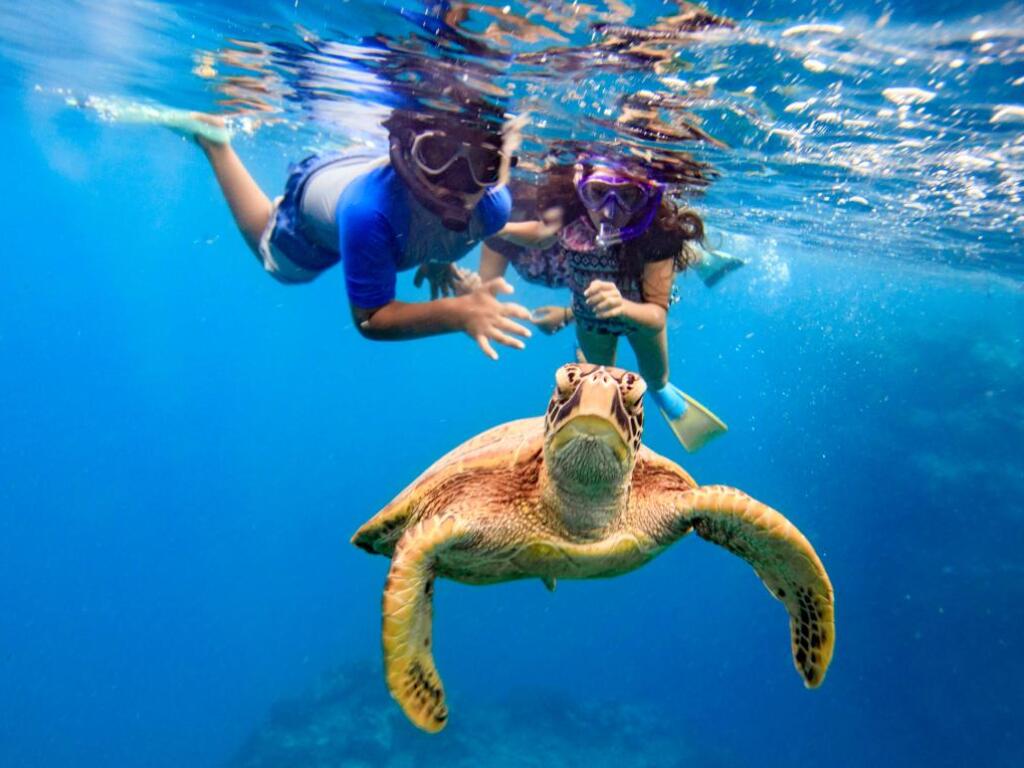
Aitutaki is the chief sub island and is most noted for its beauty and natural wonders. Aittuaki has a land area of just 18 square kilometres and is home to approximately 1800 people. Aitutaki is a much smaller and secluded island which can be accessed via aircraft from Rarotonga. Most visitors to the Cook Islands take day trips or spend a couple of days on Aitutaki to see the renowned Aitutaki lagoon. This breathtaking lagoon is a stunning jewel and a spectacle of Mother Nature at her best. This island is also extremely popular for snorkelling, diving and other water-based activities.